
Space information has become a vital economic resource with the improvement of social information degree. Many marine surveillance missions like national rights and interest maintenance, marine resource exploitation, maritime safety guarantee that involves national interest and people’s livelihood need the support of space information
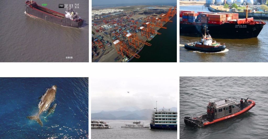
Sea patrol in wide area and under emergency situation
In some sea districts ships work scattered and far away from coastlines, patrol by ships is highly restricted by natural conditions, it travels in low speed, narrow vision, and long patrol interval and takes a form of a line coverage. If a UAV that carrying mission equipment is used instead, the patrol speed could be up to 3~10 times faster than by ship. On the other hand, the patrol range in greatly expanded by monitoring from high altitude. Especially when certain amount of ships and UAVs are combined, their respective advantages could be given full play.
Marine law enforcement and investigation
Using UAVs can ensure the rapidity and timeliness of responses in aspects of investigation and emergency reaction. The onboard photographic equipment can also record and store data, which makes the investigation and handling easier. A three-dimensional inspection system of land, sea and air consists of patrol ships and UAVs can greatly increase maritime management efficiency, enhance the marine law enforcement and better safeguard national interests
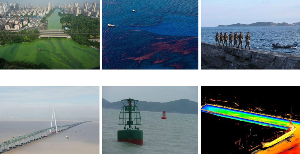
Ship oil spilling and emission monitoring
The first couple hours after oil spilling is the best time for action, otherwise it would be hard to clean up because of the diffusion. For the obvious advantages that UAV has in aspects of inspection cost, weather adaptability and operation convenience, it can be used in fixed line cruise and detect oil spilling in time.
Beacon inspection
Beacon is a primary mean for navigation support. The inspection mission equipment carried by UAVs can detect beacons rapidly, report the working status effectively, avoid aimless inspection and raise success rate of beacon inspection.
Course mapping
Aerial photography is an approach that can extract the space location information of the detected object by processing and analysis the taken photos of ground and sea surface. It has been widely used, especially in aspect of full digital photographic measurement. It enables UAVs to meet the precise requirement of aerial survey.